

POWELL RIVER
British Columbia, Canada
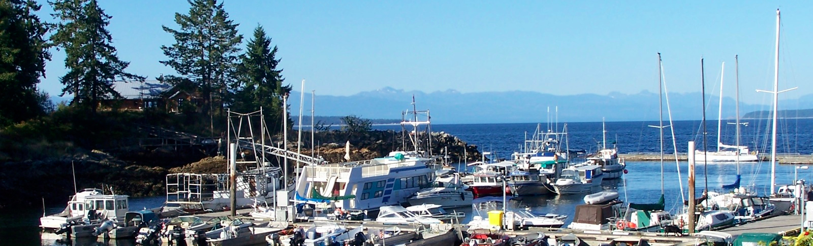
Powell River is a city on the northern Sunshine Coast of southwestern British Columbia, Canada. Most of its population lives near the eastern shores of Salish Sea, which is part of the larger Georgia Strait between Texada Island and the Mainland. With two intervening long, steep sided fjords inhibiting the construction of a contiguous road connection with Vancouver to the south, geographical surroundings explain Powell River's remoteness as a community, despite a relative proximity to Vancouver and other populous areas of the BC Coast. The city is the location of the head office of the Powell River Regional District.
The City of Powell River
The City of Powell River includes the original Townsite, which became designated a National Historic District in 1995, one of only 7 in Canada. There is also the more populous Westview, and the Cranberry and Wildwood areas. On October 15, 2005, coinciding with its 50th anniversary of incorporation, Powell River was officially designated a city.
Geography and Climate
Powell River is situated within a temperate rainforest, Coastal Western Hemlock biogeoclimatic zone. On average, the CWH is the rainiest biogeoclimatic zone in British Columbia. The zone typically has a cool mesothermal climate: cool summers (although hot dry spells can be frequent) and mild winters. Mean annual temperature is about 8 °C (46.4 °F) and ranges from 5.2 to 10.5 °C (41.4 to 50.9 °F) among the CWH subzones. The mean monthly temperature is above 10 °C (50 °F) for 4–6 months of the year. The mean temperature of the coldest month is 0.2 °C (32.4 °F) and ranges from −6.6 to 4.7 °C (20.1 to 40.5 °F) among the subzones. Mean annual precipitation for the zone as a whole is 2,228 mm (87.7 in), and ranges from 1,000 to 4,400 mm (39.4 to 173.2 in) (and probably more in some areas). Less than 15% of total precipitation occurs as snowfall in the south, but as much as 40-50% in the northern parts of the zone.